post

The Bungle Bungles

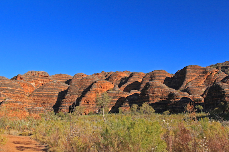
The Bungle Bungles are some of the most beautiful, striking natural formations in the world. Their weird and wonderful shapes are only outshone by their glowing colours and irresistible stripiness!

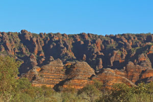
The cone karsts of the Bungle Bungles or Purnululu National Park, to give it its Aboriginal name, are quartz sand-stone formations that have been eroded over 20 millions years to form these beautiful domes, canyons and gorges. Incredibly it was only in 1987 that they become known to more than the local Aboriginal communities and a few passing stockmen and only 20 years ago they were declared a World Heritage site.

How could you not shout about this?

Vast, ancient and on geological timescales, only discovered just now - incredible!

Vast, ancient and on geological timescales, only discovered just now – incredible!

There are a number of different areas to explore.

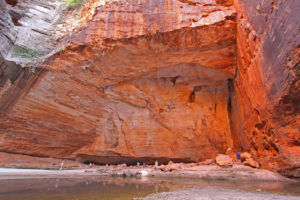
Cathedral Gorge is famous for its majestic permanent waterhole and acoustics.

Looking across the waterhole in Cathedral Gorge

Looking across the waterhole in Cathedral Gorge

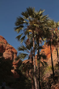
Homestead Valley has only been opened up in the last couple of years and draws you in to its shaded palm-lined canyon.

Homestead Valley

Homestead Valley

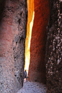
Echidna Chasm has to be the best. An ever-narrowing boulder-strewn scramble through a slice of the ancient rocks, that changes light and character as the sun passes over the narrow skylights about.

We were dwarfed by the Chasm walls

We were dwarfed by the Chasm walls

Words can’t really describe the best of the Bungle Bungles, so there are extra images in the slideshow for you to enjoy.

post

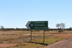
The Tanami Track

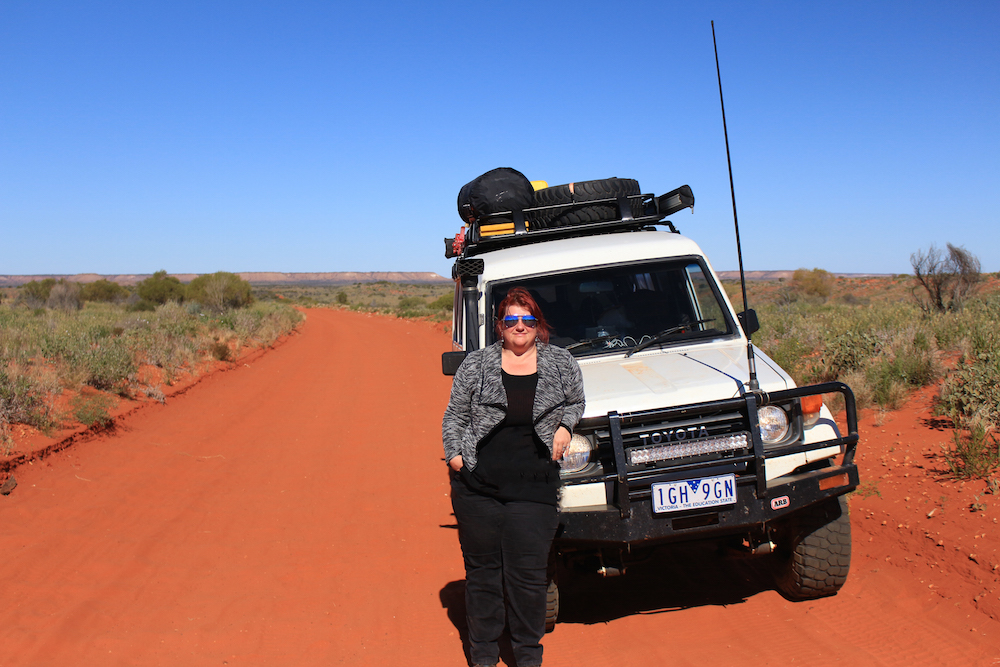
It’s a 1000km of dirt, corrugations, gold mines and road trains. The Tanami Track is also the fastest way from the Centre to the west. It took us three days.

Here we go - see you in a 1,000km

Here we go – see you in a 1,000km

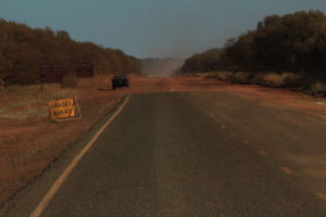
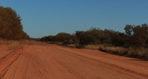
The first two hundred km are tarred, but after that it is nothing but red dirt as far as the eye can see.

The last of the tar

The last of the tar


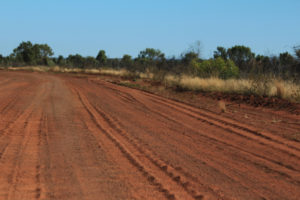
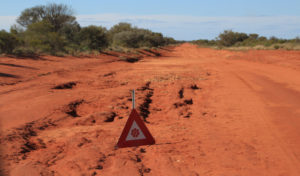
800km of this

800km of this


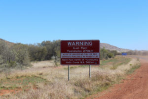
Fair warning to fuel up

Fair warning to fuel up

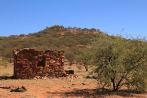
There is one roadhouse and one aboriginal community along the entire length of the Track. There used to be more, but as with many other outback areas – the life was just too hard for too little and stations were abandoned.

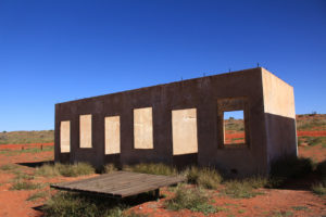
The ruined remains on an old station

The ruined remains on an old station


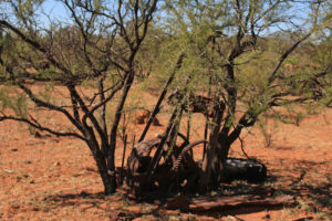
Nature is now in command of the machine

Nature is now in command of the machine


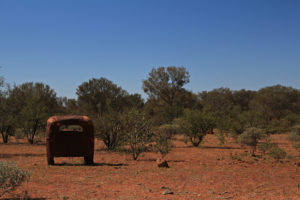
Relics of another era

Relics of another era


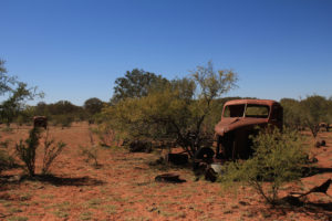
An abandoned cattle station vehicle

An abandoned cattle station vehicle

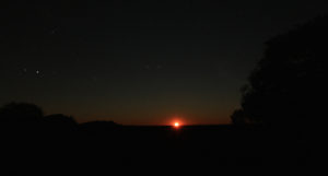
We spent our first night looking out across the salt pan of Lake Lewis and the last of the West MacDonald ranges in the distance and enjoyed a spectacular moonrise.

A blood red moon rise over the Tanami

A blood red moon rise over the Tanami

Red moon rising in a black sky

Red moon rising in a black sky


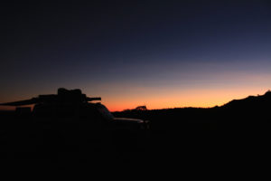
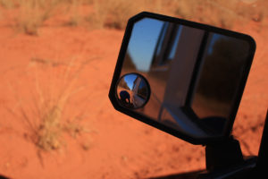
The fading light glinting off the troopie

The fading light glinting off the troopie


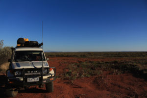
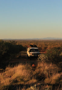
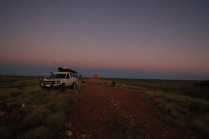
Our first camp spot on the Tanami Track

Our first camp spot on the Tanami Track

The morning was pretty special too!

Far from the crowds

Far from the crowds


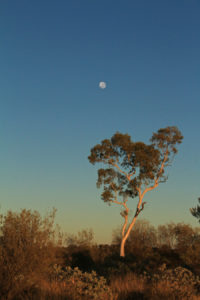
A ghost gum and the moon early in the morning light

A ghost gum and the moon early in the morning light


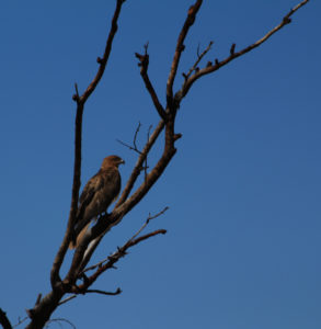
Black kite

Black kite


Desert mornings glow

Desert mornings glow

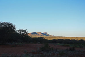
The West MacDonald ranges in the distance

The West MacDonald ranges in the distance

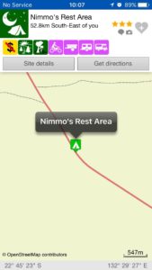
We liked it so much that we are willing to share with other travellers, so entered it on the Wiki Camps app, which is the camping bible in Australia.

Nimmo's Rest WikiCamp entry

Nimmo’s Rest WikiCamp entry


Day two and the corrugations on the dirt road were pretty bad. The tyres kick up ruts in the dirt, which become deeper and more cut up the greater the traffic and the faster the speeds. Sometimes our speed was down to 20km just to minimise the shakes.

Geoff dropping the tyre pressure for the rutted road ahead

Geoff dropping the tyre pressure for the rutted road ahead


The corrugations have rattled a few bolts loose on the car

The corrugations have rattled a few bolts loose on the car

The photos don’t do justice to the road, so here’s a short video to give you an idea of what it feels like. This isn’t the worst part, I couldn’t hold the phone for that bit!


But there is much more to the desert than ruts and dust. And there’s always time for a cup of tea, regardless of the state of the road

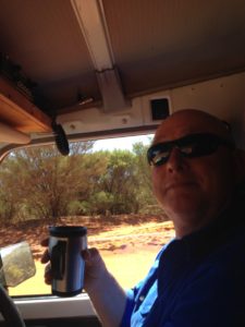
A nice cuppa tea

A nice cuppa tea

Our second night was even more glorious than the first. On a full moon we found the only raised section of desert for miles. With 360-degree views we watched the desert colours change with the rising and setting sun and moon.

Sunset on our stony knoll - the highest point of the desert for miles

Sunset on our stony knoll – the highest point of the desert for miles


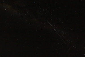
The International Space Station shot through our night sky

The International Space Station shot through our night sky


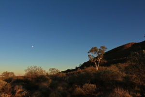
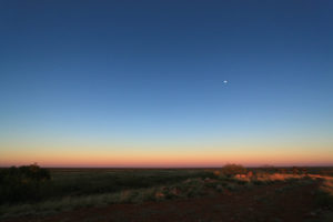
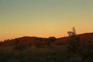
Sunrise with the last dot of the moon still on show

Sunrise with the last dot of the moon still on show


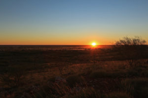
The desert sunrise

The desert sunrise

About 5km away was The Granites Gold Mine.

The Granite gold mine in the distance

The Granite gold mine in the distance

Home to the world’s largest road train. For the nerdy among you, it is so big it can pull 400tonnes of gear, with a 650HP prime mover at the front and a remote controlled 400hp engine trailer in the middle. We didn’t see the truck, although we heard many ploughing up and down nearby tracks, but we did manage to steal their wifi signal and took great delight in phoning home from the middle of the desert!

The desert below our vantage point

The desert below our vantage point


The delicate blond grasses transform the landscape

The delicate blond grasses transform the landscape


A golden grassy shimmer

A golden grassy shimmer


The winter rains have brought golden grass and green trees to the desert

The winter rains have brought golden grass and green trees to the desert


Parts of the Tanami Track feel a little samey in terms of view, but there are also endless surprises and wonderful places to pull up.


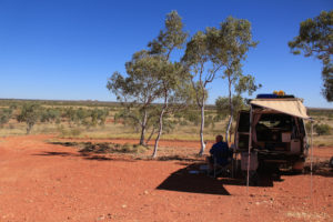
Not a bad spot for lunch

Not a bad spot for lunch


Our shadow was longer, but he loomed larger

Our shadow was longer, but he loomed larger


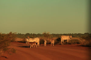
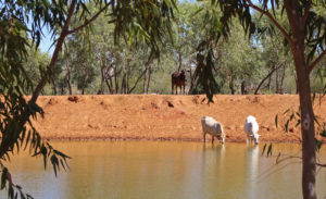
The brahmin-crossed cattle have a serene, but definite presence

The brahmin-crossed cattle have a serene, but definite presence


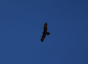
The wedge-tail eagle has a wing span of nearly three metres

The wedge-tail eagle has a wing span of nearly three metres


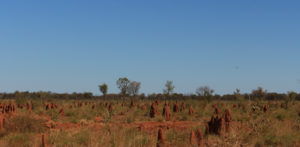
Termite mounds come in many shapes and sizes

Termite mounds come in many shapes and sizes


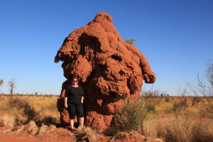
A very large termite mound

A very large termite mound


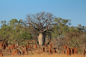
A Boab tree

A Boab tree


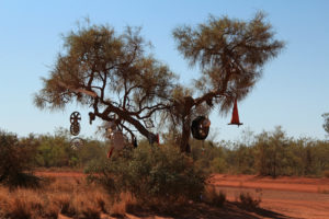
A little bit of trucker road art on the Tanami Track

A little bit of trucker road art on the Tanami Track


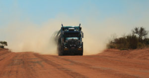
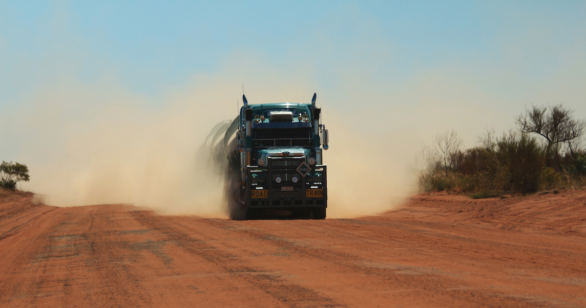
Day two and we were on the fuzzy end of another road train. One of the things that is good to avoid on a dirt road is getting stuck behind another vehicle – especially a large lorry.

Road trains blot out the view as they pass

Road trains blot out the view as they pass

This is what it is like trying to get passed one. Turn up the volume to hear Geoff and the driver’s discussion and some under-the-breath swearing from me!


The driver was our eyes ahead, when his clouds of dust were making us blind. It was a little hairy, but you put your faith in the guy who can see and go for it!

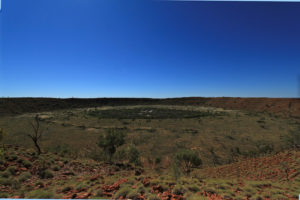
Towards the end of the Tanami Track is Wolfe Creek – the world’s second largest meteorite crater.

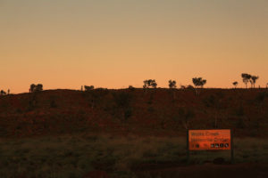
A sunset arrival didn't give much away

A sunset arrival didn’t give much away

A mere 300,000 years ago a 20,000 ton meteorite, travelling at 15km per second, or 54,000km per hour (considerably faster that we managed on that road), slammed into the earth and exploded a crater 140m deep and 850m wide. Today the crater has been filled with dust and only sits 11m deep – but it is still an impressive and mind-boggling sight to imagine what happened here.

The second largest meteorite crater in the world

The second largest meteorite crater in the world

Wolfe Creek is also the scene of a slasher movie where hapless road trippers are tricked into a mass murderer’s house. The fake bloodied hand on the sign for the crater was a little reminder of the movie.

Thankfully, we have a mechanic on board and we were more awed by what a meteor could do, than a Hollywood manic.

Look closely and see the "bloody" hand

Look closely and see the “bloody” hand

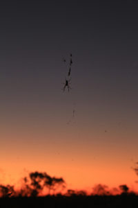
Although I did think this dude floating in the air near our tent was pretty scary.

Floating cobwebs, with attitude

Floating cobwebs, with attitude

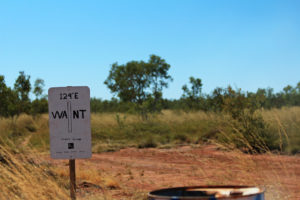
The Tanami Track is interstate – crossing from Northern Territory to West Australia.

The boundary marker between West Australia and Northern Territory

The boundary marker between West Australia and Northern Territory

The unassuming sign is a major landmark for us, as we now venture into states unknown. From now on everything in this ancient part of the continent is new to us both and already we have seen some extraordinary places.


post

The World’s Biggest School & Largest Hospital

Necessity is the mother of invention and when the nearest school or hospital can be days away by rough dirt track, extraordinary people get busy creating amazing ways to manage.

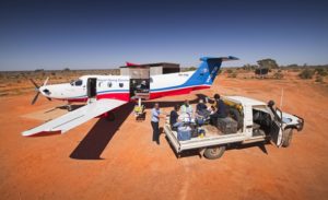
Alice Springs, in the Northern Territory, is both central and remote. A place explorers thought couldn’t exist until a gap was found through the hills and mountain that encircle it, it has become the epicentre of two of Australia’s greatest, most widespread and essential community services – The Royal Flying Doctors and the School of the Air.

A missionary, John Flynn, first conceived the idea of the now essential medical service and the first flight in 1928 was the start of so much more than he could have imagined.

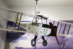
A model of the first plane

A model of the first plane


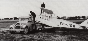
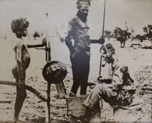
The first pilot – Arthur Affleck, had no radio, no navigational aides and only rudimentary road maps. He navigated by fences, river beds and telegraph poles.

True pioneers and life-savers

True pioneers and life-savers


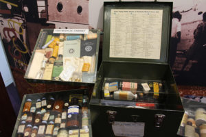
Anything you need for everything imaginable

Anything you need for everything imaginable


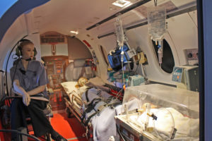
The modern set up would have been a dream back in the day

The modern set up would have been a dream back in the day

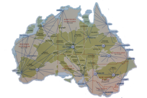
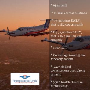
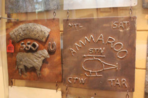
The Royal Flying Doctors Service now has 63 planes spread all across Australia, providing emergency care and weekly clinics to some of the most remote places you can imagine across vast distances.

How Europe fits into Australia

How Europe fits into Australia

The Royal Flying Doctors are never far away

The Royal Flying Doctors are never far away


Simple but effective

Simple but effective


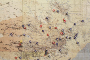
We have not passed through an outback station or pub that didn’t have a fundraising tin for the RFDS – because they know it is their lifeline. This small section of map indicates the landing strips for the planes. Red and blue are different types of dirt track. Yellow is bitumen – the stuff the rest of us are used to landing on.

There's only one yellow marker

There’s only one yellow marker

The doctors in action

The doctors in action


An emergency airstrip on an outback road

An emergency airstrip on an outback road

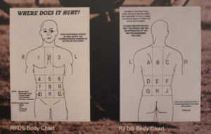
The facts and stats for this service are quite incredible


RDFS STATISTICS


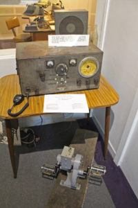
John Flynn’s idea could not have taken off without Alfred Traeger. He invented a portable, pedal-powered two-way radio that allowed more effective communication over 500km. It was the breakthrough the service needed to cover the whole country.

The incongruous sight of the inventor at work in the outback

The incongruous sight of the inventor at work in the outback

A small machine that made huge things happen

A small machine that made huge things happen

Traeger’s invention was instrumental in creating another of Alice Spring’s great claims to fame – the School of the Air.

Come one, come all

Come one, come all

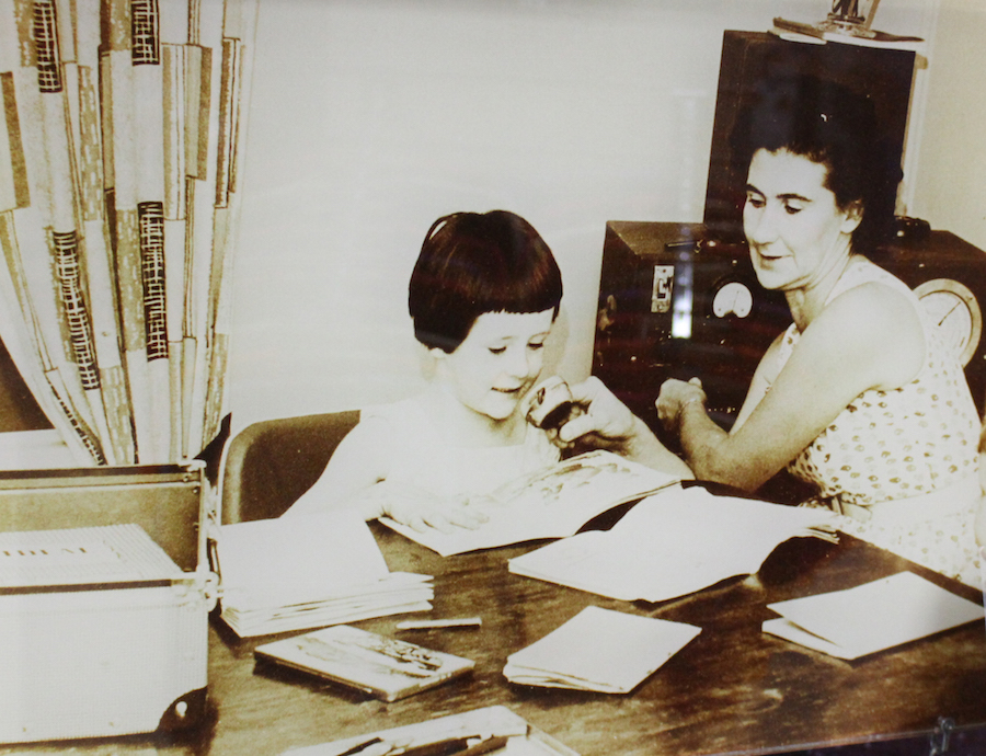
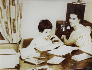
Boasting the largest classroom in the world, the School of the Air has been transmitting classes to far-flung outback children since 1951. Starting over the radio and now in full-technicolour over the internet.

Early days of the Air

Early days of the Air


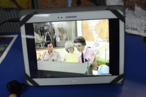
Perhaps not everyone was excited by the breakthrough

Perhaps not everyone was excited by the breakthrough


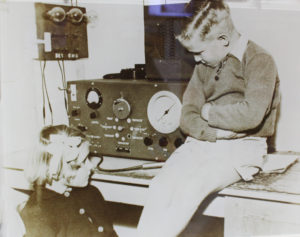
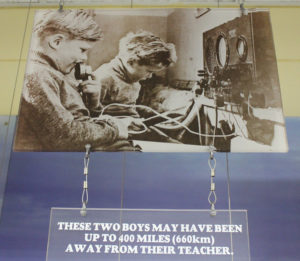
Real distance learning

Real distance learning


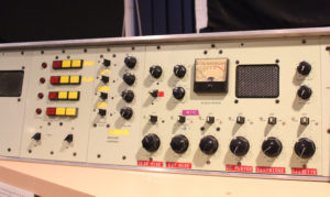
The modern radio set up, before the advent of the internet

The modern radio set up, before the advent of the internet


Prince Charles & Lady Diana were two of many celebrity guests

Prince Charles & Lady Diana were two of many celebrity guests


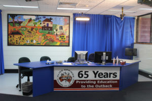
The main broadcast studio now

The main broadcast studio now


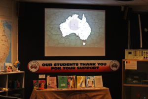
School packs and timetables

School packs and timetables

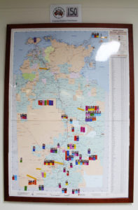
There are 150 children at various levels up to age 14, and spread across more than a million square kilometres.

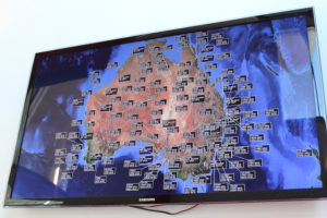
The dots on the map show the remote classrooms

The dots on the map show the remote classrooms

The children tune in from far afield

The children tune in from far afield

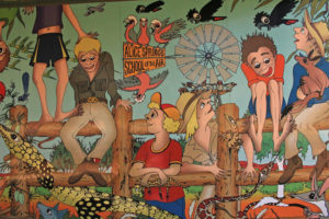
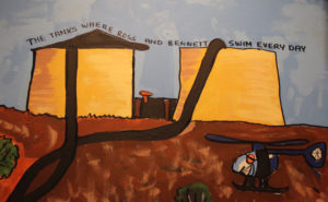
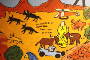
Sadly we don’t have the pictures to do justice to this story. The school was off on mid term break when we visited, but just imagine for a moment how important it must be to remote families across this vast continent to have access to such a service. The children’s artwork gives a hint of the very different lives they lead and the need for their teachers to understand them.

School art depicting outback life

School art depicting outback life


Not an average school day

Not an average school day


Mum is the helicopter pilot

Mum is the helicopter pilot


Dad runs the outback jail

Dad runs the outback jail


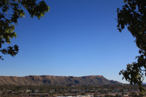
Alice Springs was the place that didn’t exist. For many years explorers couldn’t find a way through the MacDonald ranges and today the town is still surrounded by vast nature.

Surrounding Alice

Surrounding Alice

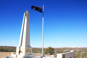
Anzac Hill at Alice Springs, surrounded by hills

Anzac Hill at Alice Springs, surrounded by hills


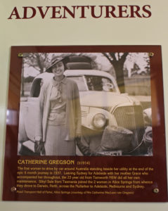
It is perhaps no surprise that the mothers and fathers of invention created such great community services in a place that was so far from anywhere. Alice Springs was central to outback development and many pioneers were born or passed through here. We take our inspiration and determination from them, though Sara might skip the bonnets!

The first of many

The first of many


post

The Dead Centre of the Red Centre

There’s the so-called Red Centre of Australia – which includes Uluru. And then there’s the Dead Centre. We shot down the aptly-named Gun Barrel Highway to pay it a visit.

If you look at a map you can seen why the Gun Barrel was so named. Len Beadell – surveyor and road builder extraordinaire  – wanted it to be as straight as the very same.

The aptly named Gunbarrel Highway

The aptly named Gunbarrel Highway

Nice work Len!

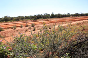
Despite its appealing straightness, it is now a road less travelled.

One of only two vehicles we saw on the entire stretch

One of only two vehicles we saw on the entire stretch

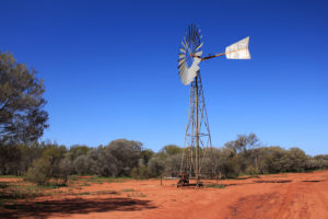
We found a lovely example of another Australian classic along the way. Water-pumping windmills have been a lifeline for farmers across the country. The Southern Cross windmill was first built in 1876 and the steel-bladed water-bringers have been cranking through the outback since.

Another great Australian outback invention

Another great Australian outback invention


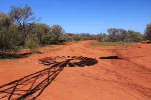
Shadows on the wind

Shadows on the wind


The windmills of the outback kept the water flowing and the people and cattle going.

The windmills are vital for pumping water in remote areas

The windmills are vital for pumping water in remote areas

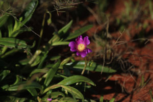
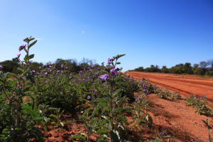
Just a little bit of water is all it needs to keep the desert growing too, it seems. Far from being an empty wasteland, plants and flowers spring up at the sides of the track.

Even the tiniest blooms burst into life

Even the tiniest blooms burst into life


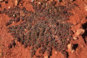
Some plants almost merge with the soil for the last drops of moisture

Some plants almost merge with the soil for the last drops of moisture


Wild flowers bloom at the edge of the track

Wild flowers bloom at the edge of the track


Yellow and purple dance along the Gunbarrel

Yellow and purple dance along the Gunbarrel


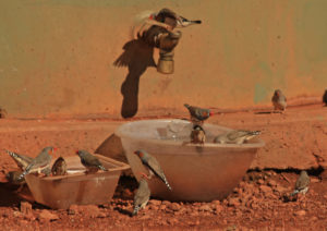
A gaggle of zebra finches at a truckstop water tank

A gaggle of zebra finches at a truckstop water tank


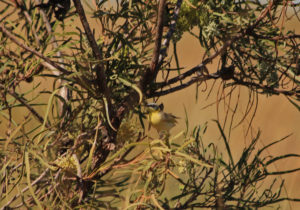
A yellow honeyeater well disguised

A yellow honeyeater well disguised


A welcome waterhole

A welcome waterhole

Of course water is great for flowers and cows, but not so great for 3 ton wagons like ours and we had to pick our way carefully.

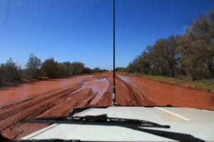
One of the many hazards of outback tracks

One of the many hazards of outback tracks


An unavoidable soaking

An unavoidable soaking

We found some slightly bigger hazards too, but thankfully they were behind a fence.

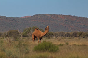
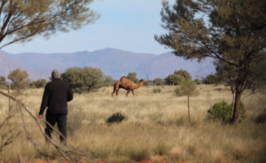
A proud looking camel

A proud looking camel


It wasn't much interested in saying hello

It wasn’t much interested in saying hello

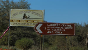
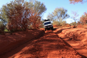
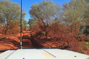
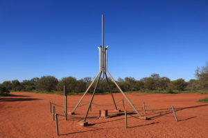
Having travelled a short section of the Gun Barrel, we turned up onto the track leading to Lambert’s Centre – the geographical centre of Australia.We can only assume that visitors aren’t very welcome at the Centre – it took us more than a hour to travel 14km on one of the worst roads we have covered so far.

A long haul up a short road to the middle

A long haul up a short road to the middle


Getting to the dead centre of the Red Centre doesn't seem to be encouraged

Getting to the dead centre of the Red Centre doesn’t seem to be encouraged


We imagined a notable place might have a notable road in. I suppose it did

We imagined a notable place might have a notable road in. I suppose it did

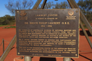
Bruce Lambert (of the Centre) was one of Australia’s most decorated surveyors and explorers, but ironically never made it to the landmark that bears his name. Perhaps if he had, he might have had something to say about the road.

In honour of the master map maker and surveyor, who never made it here

In honour of the master map maker and surveyor, who never made it here

Lambert's Centre - the heart of Australia

Lambert’s Centre – the heart of Australia

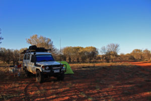
Unlike Bruce – we set up camp for the night. Another compass point ticked off the list.

Setting up camp at sunset at the centre of Australia

Setting up camp at sunset at the centre of Australia


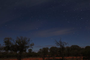
Speckled stars on a moonlit night in the outback

Speckled stars on a moonlit night in the outback


The road to the centre was not the best. The road from the centre didn’t get much better. We did as good travellers should and took advice from the locals.

Travellers: “Is the Old Ghan Track, (now called the Finke Desert Track) okay at the moment?”.

Man at Finke gas station who’s also just taken $90 off us for diesel: “For sure, it knocks two hours off the trip to Alice Springs. You can sit on 60-80kmph. Some people even do 100kmph”

It would take too long to go back to Finke to correct the gas station guy, but suffice to say he should probably get out more.

Never mind 80km per hour – it took us three hours to do 80km! The road is 247km long.

A small hazard

A small hazard

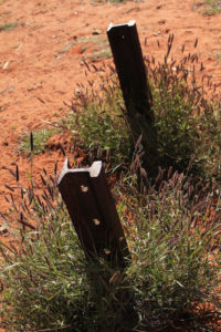
As well as the hideous corrugations in some sections, parts of the Finke Desert Road run directly over the top of the old Ghan Railway line. We had to be careful to avoid the original steel bolts that littered the route and would have taken out a tyre very quickly. The famous railway was a lifeline for outback communities when it was laid through the centre of Australia. Working parties lived on the line for months on end. But much of that history is lost in the desert now.

Weed-tangled fence posts are all that's left of the old Ghan railway track

Weed-tangled fence posts are all that’s left of the old Ghan railway track


We can't imagine why fewer and fewer men wanted to live and work out here

We can’t imagine why fewer and fewer men wanted to live and work out here

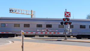
The new Ghan line still runs. Perhaps fittingly it was one of the first things we saw when we finally arrived in Alice Springs a mere six hours later.

The new Ghan

The new Ghan

You may be amused to hear that the Finke Desert Road is also the route for the Finke Desert Race. Apparently they can make it from Finke to Alice Springs in two hours, but then they are driving like this:


The race was a couple of weeks before our trip, so the road had been well chewed up by support crews and spectators. We ended up driving the race route, which had huge ruts, but because of the spacing and depth, it was more comfortable than the road.

The camera doesn't show the waves of giant corrugations down the track

The camera doesn’t show the waves of giant corrugations down the track


So however long it took, we can now legitimately say we have driven the Finke Desert Race track!


post

Monoliths, Mountains and Mighty Canyons.

Uluru stands 350 metres above ground and sits up to six miles below. It is spectacular, but on this continent of extreme nature it is not alone in its grandeur, scale and drama.
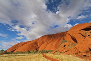
 

Light and shadow is cast by the passing clouds

Light and shadow is cast by the passing clouds

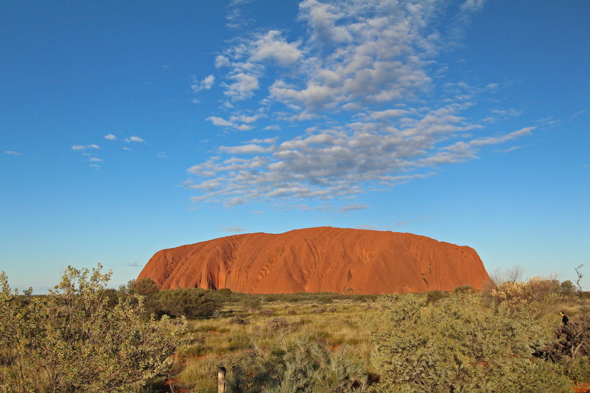
Formally known as Ayers Rock, Uluru is, to get technical, an inselberg. To be more evocative, that translates literally to – an island mountain. Long before you see it in its entirety, it dominates the skyline.
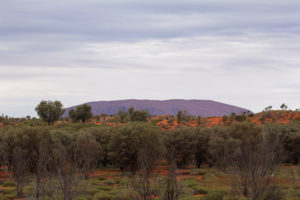
Looming on the horizon
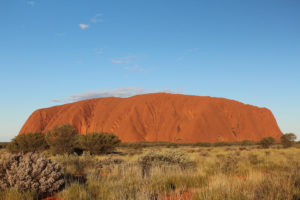
Looming on the horizon


The rock

The rock


Even the wide angle lens doesn't do justice to the scale of Uluru

Even the wide angle lens doesn’t do justice to the scale of Uluru


It is nearly 9.5km in circumference. A mammoth sandstone rock in the middle of the desert, it is considered sacred by the Aboriginal people of the area and has captured the imagination of the millions of visitors who have come to gaze on its vastness over the years.
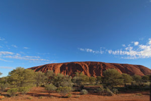
One of the many faces of Uluru
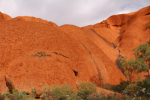
One of the many faces of Uluru


The black streaks and dimples become waterfalls and wells during the rains
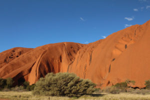
The black streaks and dimples become waterfalls and wells during the rains


The colours are every changing with the sun and the clouds

The colours are every changing with the sun and the clouds

There are many differing Aboriginal stories of how the rock came to be, but regardless of which version, it is now one of the most recognisable nature wonders of Australia. It is famed for it ever-changing glorious red and golds as the sun drifts up, over and down its surprisingly smooth faces.

Watching the sunset at Uluru is one of the must do events of a visit. With the solid constant presence of the rock beyond the trees, the crowds swell and jostle for prime photo positions.
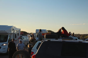
The crowds gather for sunset

The crowds gather for sunset

We were fortunate enough to spend the time with old friends. Mick and Rusty were at the Army Apprentice School with Geoff back in the day. We tagged along with Mick, his wife Sue and kids Jack and Georgia (aka Buzzard and Possum) and Rusty and Marg for a week of their holiday. Thanks for letting us gate-crash the party guys!
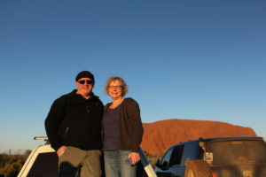
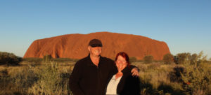
Rusty and Marg Playford
Rusty and Marg Playford


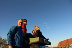
Mick, Sue, Jack and Georgia Poxon
Mick, Sue, Jack and Georgia Poxon


Us at Uluru at sunset

Us at Uluru at sunset

And then come the colours.
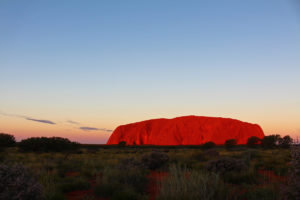
The red rock glows with fire as the sun dips
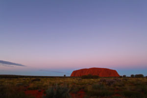
The red rock glows with fire as the sun dips


A pinky blue backdrop to the sunset
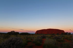
A pinky blue backdrop to the sunset


How many photos can you take of a rock at sunset? A lot!
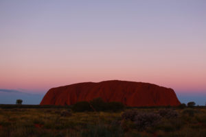
How many photos can you take of a rock at sunset? A lot!


As the rock colour fades, the sky lights up

As the rock colour fades, the sky lights up


Sunrise is just as popular. Around on the opposite face early the next morning the coffee and cameras were at the ready.
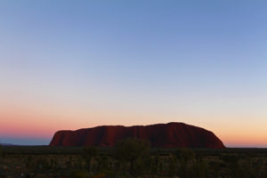
Colours of morning
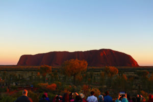
Colours of morning


Everyone is ready to greet and photograph the dawn
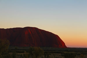
Everyone is ready to greet and photograph the dawn


The first morning blush in the sky and on the end of Uluru
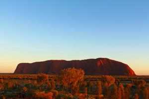
The first morning blush in the sky and on the end of Uluru


Even the trees take on the morning glow
Even the trees take on the morning glow


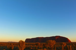
Sunrise over the rock, with the Olgas in the distance

Sunrise over the rock, with the Olgas in the distance

The colours are perhaps not as dramatic and the night before, but that great rock still manages to capture your breath, and make you feel that magic is about to happen.

Uluru/Ayres Rock has not always been a happy place. There was the famous case of Lindy Chamberlain who fought a long court case to prove that a dingo and not she had killed her baby at the Rock.

For many years the local Aboriginal community claimed they were the traditional owners of the land and Uluru was theirs fought to be recognised as the rightful guardians of the area, and in 1985 the rock and the surrounding lands were finally handed back to them.

Thirty five people have died trying the climb the rock.
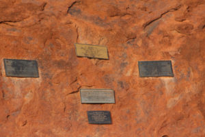
Testimony to some of those who have died climbing the rock

Testimony to some of those who have died climbing the rock

No photo can do justice to the difficulty of the climb and the steepness of the smooth rock face. A chain has been put in place for many years to help those who take up the challenge.
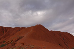
The climb to the top is a lot harder than it looks
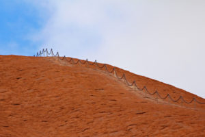
The climb to the top is a lot harder than it looks


The climb is so steep that you need to pull yourself up on the chain

The climb is so steep that you need to pull yourself up on the chain

The Anangu Aboriginal people of the area, for whom the rock is sacred, request visitors not to make the climb and often nature puts a stop to it anyway, with high winds or low clouds making it even more dangerous and the chain is closed.
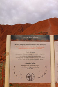
The request from the traditional owners not to climb, in front of the chain for the climbers

The request from the traditional owners not to climb, in front of the chain for the climbers

But many still do and the views from the top are reportedly spectacular.
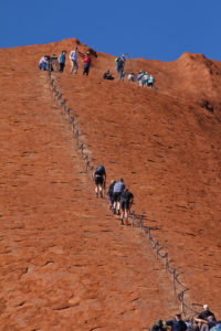
Walk the line
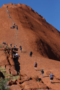
Walk the line


As soon as the climb is open, people climb

As soon as the climb is open, people climb

The views from the base are pretty amazing. A 10km walk all around the rock shows the different faces and sacred places of Uluru. We thought we might ride it on hire bikes, but at $45 each, we decided a leisurely stroll was more our style!
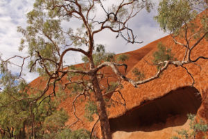
Even the trees look ancient
Even the trees look ancient


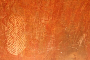
Aboriginal stories and information feature all around Uluru
Aboriginal stories and information feature all around Uluru


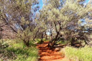
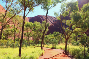
The walk around the base of Uluru
The walk around the base of Uluru


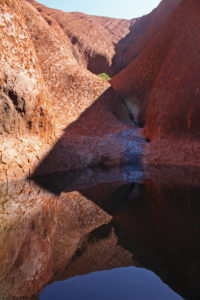
The waterhole
The waterhole


The walk to the waterhole

The walk to the waterhole


From waterholes to surprising amounts of lush vegetation, and the more than twenty different species of animal that live and thrive on this lifeless looking rock, it is truly a special place worthy of its World Heritage Site status.

But it is not alone. Not far from Uluru is Kata Tjuta or the Olgas. A group of sandstone mountains even higher than Uluru and also part of the sacred dreaming and meeting places of the local Aboriginal people.
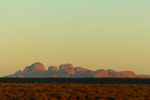
Kata Tjuta, the Olgas in the early morning haze
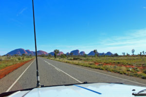
Kata Tjuta, the Olgas in the early morning haze


Kata Tjuta or the Olgas are also spectacular and hardly get a mention outside Australia
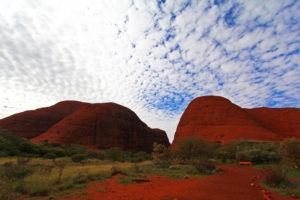
Kata Tjuta or the Olgas are also spectacular and hardly get a mention outside Australia


The highest point of Kata Tjuta is more than 200m higher than Uluru

The highest point of Kata Tjuta is more than 200m higher than Uluru

There are 36 domes in all, spread over nearly 22 km2 and while Uluru gets all the attention normally, the highest of the three dozen, Mount Olg – at 1,066m – towers over the Rock.

Like Uluru, there are many Aboriginal legends around the creation of the domes, but many are not told to outsiders, especially women, as much of the site is considered “men’s business.
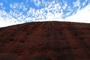
Looking up on of the sheer walls of Kata Tjuta
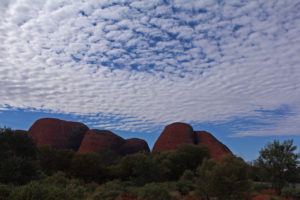
Looking up on of the sheer walls of Kata Tjuta


 Mount Olga
Mount Olga


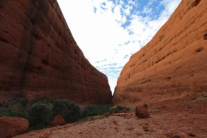
Walking through one of the gorges at the Olgas

Walking through one of the gorges at the Olgas


South of the Uluru / Kata Tjuta national park is another monster monolith – Mount Conner. With such illustrious near neighbours Mount Conner doesn’t get much press, and if you are coming up from the South it is often for people the first tantalising and incorrect glimpse of Uluru. But Mount Conner is pretty impressive in its own right, so we wanted to give him some space amongst the big ones.
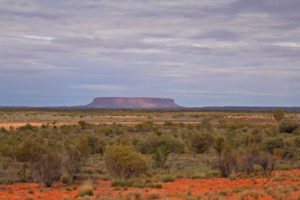
Mount Conner

Mount Conner

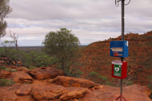
Uluru and the Olgas may get the “being the biggest prize”, but Kings Canyon not only has size and scale, it also has a hike that boasts a 100m climb affectionately known as Heart Attack Hill, before you reach the rim. Once up there you are greeting with a reassuring defibrillator and emergency radio beacon!
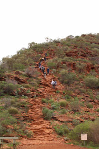
The beginning of the climb up Heart Attack Hill
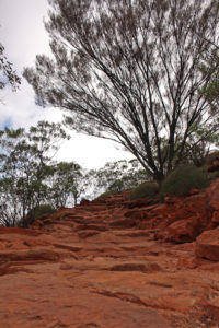
The beginning of the climb up Heart Attack Hill


Heading up Heart Attack Hill
Heading up Heart Attack Hill


Just in case Heart Attack Hill lives up to its name
Just in case Heart Attack Hill lives up to its name


There's still a long way to go

There’s still a long way to go


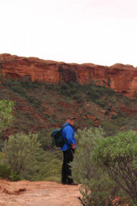
Thankfully we didn’t need the machine, and the five hundred roughly hewn steps we had toiled up lead us onto the top of the canyon and a six kilometre walk, scramble, hike over ancient stones and a landscape that has remained unchanged for millennia.
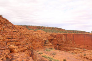
Just for scale - the tiny white dot in the centre is a person!
Just for scale – the tiny white dot in the centre is a person!


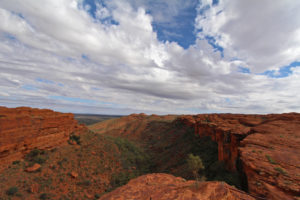
Vast vistas

Vast vistas


The cliff faces of the canyon are weathered over endless time. Some have had more recent rock falls, which have left spectacular slides behind.
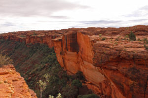
Remnants of the last wall slide
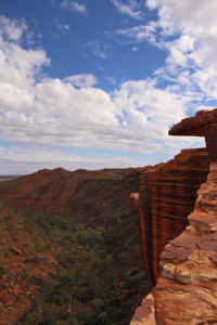
Remnants of the last wall slide


Dramatic landscapes
Dramatic landscapes


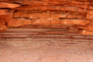
Layers of time

Layers of time


Kings Canyon is an important watering hole in the harsh Red Centre of Australia. Little wonder that the waterhole and towering trees at the base of the gorge is called the Garden of Eden.
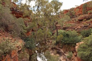
The Garden of Eden on the valley floor

The Garden of Eden on the valley floor

More than six hundred species of animals and plants live in the Canyon, taking shelter in the vast gorge and enjoying the Garden.
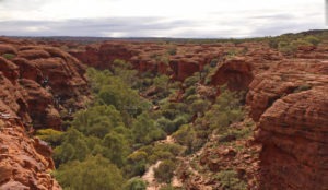
Looking toward the Garden of Eden, with the black outline of the steps across the gorge
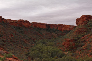
Looking toward the Garden of Eden, with the black outline of the steps across the gorge


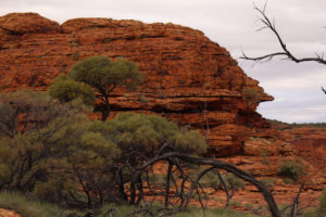
Looking along the curve of Kings Canyon
Looking along the curve of Kings Canyon


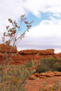
Flowers and berries feed the many birds and animals that live in Kings canyon
Flowers and berries feed the many birds and animals that live in Kings canyon


Bowed and ancient
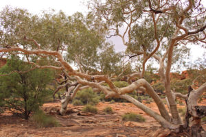
Bowed and ancient


Kings Canyon is a key water source in the area and the River Gums know it
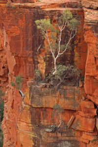
Kings Canyon is a key water source in the area and the River Gums know it


Nature will always find a way to flourish
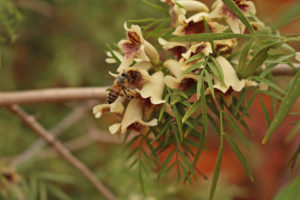
Nature will always find a way to flourish


It is surprising how much grows on what seems like barren rock

It is surprising how much grows on what seems like barren rock


The Lost City is another area of the Canyon Rim – with towering walls and stunning natural formations, including solid rock, still rippling with the traces long-forgotten streams.
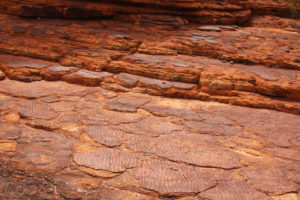
Where the river once ran through it
Where the river once ran through it


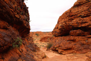
The climb opens out into a natural amphitheatre

The climb opens out into a natural amphitheatre


More recently tourism has brought a boom to the area. Cotterill’s Look Out is named after one of the Red Centre’s early pioneers of tourism to the region – Jack Cotterill.
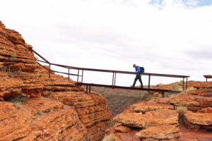
Crossing the bridge to Cotterill's lookout

Crossing the bridge to Cotterill’s lookout
 

Looking across to Cotterill's Look Out

Looking across to Cotterill’s Look Out


While Uluru and Kata Tjuta and Kings Canyon may be a relatively new find for tourists, local Aboriginal people have lived and thrived in each place for more than 20,000 years and they rugged rocks, canyons and mountains are still important sacred areas for them. After visiting all three it is easy to see why.

post

Blustery Days and the Kindness of Strangers

You were totally crazy to travel in the summer heat, go in the winter – it’s much better. So they said, as we hit hail storms, gales and freezing temperatures.

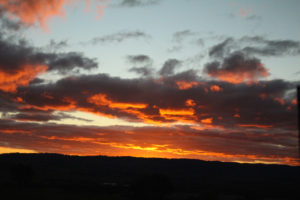
Our latest trip started out beautifully, with a perfect sunset on a lovely beach on the south coast at Warrnambool.

Dramatic winter evening skies and seas

Dramatic winter evening skies and seas


 Gratuitous gorgeous sunset

Gratuitous gorgeous sunset

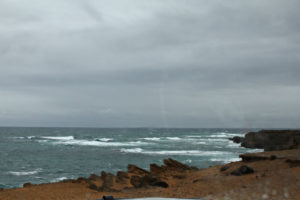
But the signs were already there that things were about to change.

The wintry waters were a prelude to the hailstorm later that evening

The wintry waters were a prelude to the hailstorm later that evening

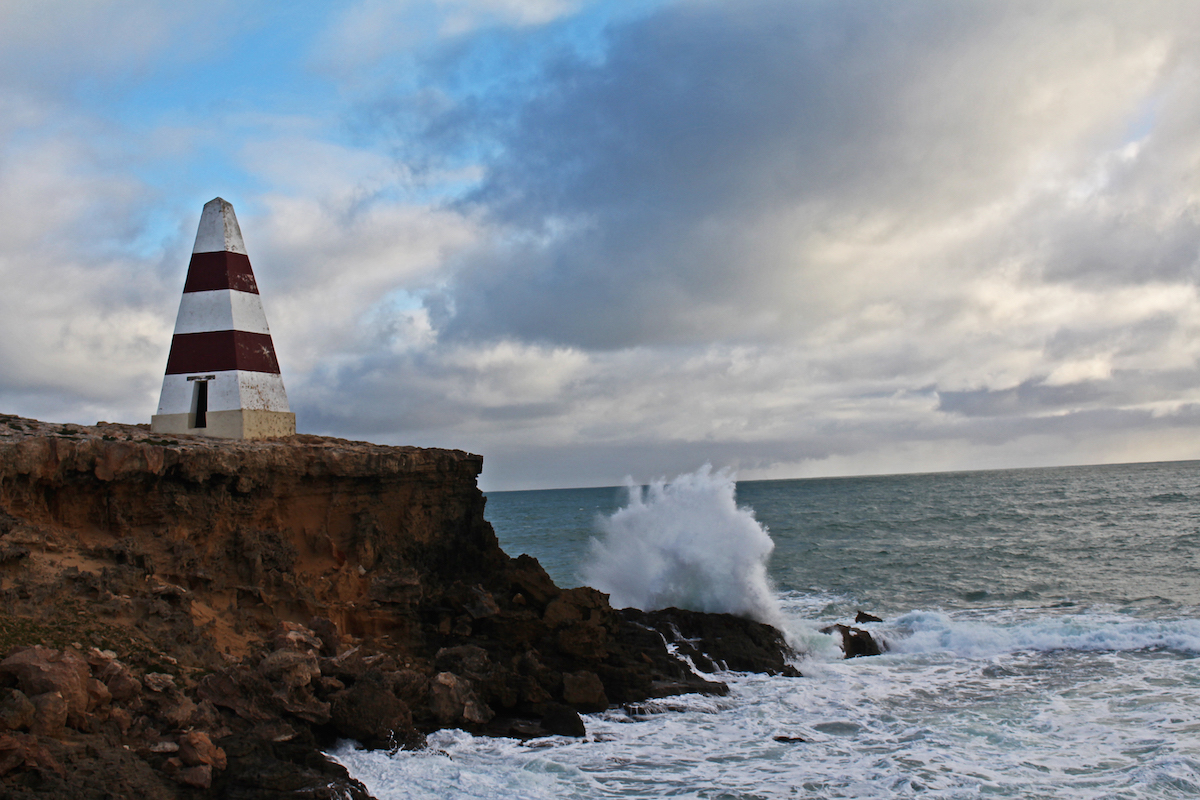
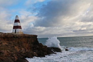
Perhaps we should have heeded the warnings at Robe – where the obelisk has stood for more than 100 years in the teeth of wind-whipped waves and icy blasts.

The warning obelisk at Robe

The warning obelisk at Robe

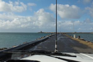
But by the next day when we arrived in Portland, we had to dodge hail storms and were literally holding onto our hats in the wind.

Often the breakwater is swamped by waves straight up from Antarctica

Often the breakwater is swamped by waves straight up from Antarctica


It is one of the busiest harbours in South Australia

It is one of the busiest harbours in South Australia

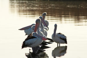
But the wintry sun also shone amid it all and we powered on. We were due to meet up with some old army buddies of Geoff’s so we were on a schedule – for once! Next stop the delightful waterside at Meningie and the wonderful pelicans of Lake Albert.

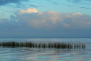
The soft colours of morning over the lake at Menigie

The soft colours of morning over the lake at Menigie


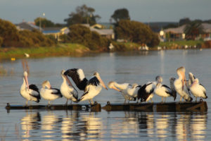
Pelican pier

Pelican pier


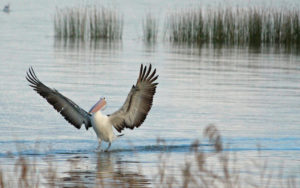
Ta Dah!

Ta Dah!


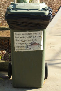
Directions on where to leave your dead fish - not the usual sign you see at the bins

Directions on where to leave your dead fish – not the usual sign you see at the bins


Early morning pelicans

Early morning pelicans


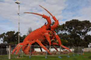
From the delightful poise of the pelicans, we had to stop and photograph one of Australia’s famous “big things”. Larry the Lobster in Kingston SE did not disappoint.

Yep, it's a giant lobster

Yep, it’s a giant lobster

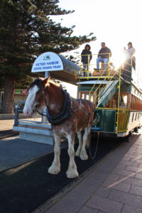
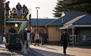
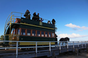
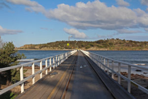
Moving on to Victor Harbor and another big thing, but far more impressive. The stoic, solemn and very real Albert, the tram-pulling shire horse, who daily plods from the mainland to Granite Island.

Albert the tram horse gets ready to roll

Albert the tram horse gets ready to roll

We didn’t want to disturb his slow haul, but couldn’t help but join the rest of the appreciative crowds. It didn’t show on his greying face, but the tram operator assured us that Albert is only a young horse and loves the company along the route.

Geoff and Albert take a stroll

Geoff and Albert take a stroll


Albert plods ahead to Granite Island

Albert plods ahead to Granite Island


The road and rail to Granite Island, off Victor Harbor

The road and rail to Granite Island, off Victor Harbor


Visitors come from all over the world to see Albert and the other tram horses

Visitors come from all over the world to see Albert and the other tram horses


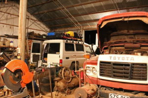
We had a date in the bouncily named Booleroo Centre to meet Geoff’s old friends. But before they even arrived we had made some new ones. Our friends Mick & Sue were meeting us at the house of their old school friend and bridesmaid – Tiffany. We arrived two days early and were made incredibly welcome by her. We (well, Geoff!) had work to do on the car, so one of Tiff’s friends Ross, agreed we could use his shed for the work and as shelter for the night. The farm was his grandfather’s and it looked like everything was still where grandpa put it.
The kindness of strangers - a roof over our heads to make repairs and spend the night

The kindness of strangers – a roof over our heads to make repairs and spend the night


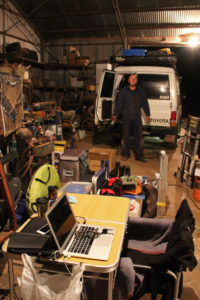
Geoff worked on the car, I worked on the blog

Geoff worked on the car, I worked on the blog


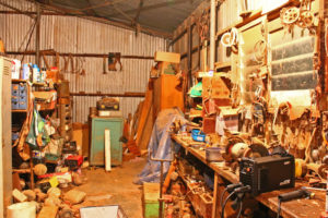
Our bedroom decor in Ross's shed

Our bedroom decor in Ross’s shed


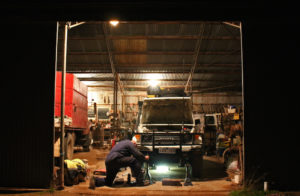
Late night labouring before bed in Ross's shed

Late night labouring before bed in Ross’s shed

We are endlessly amazed and grateful for the kindness we have received on our travels and yet again we were indebted to people for their unconditional generosity. And we got to sleep in a classic outback town shed, creaking with decades of history and machinery!

With the troopie fixed up, we headed for our rendezvous with friends. Next stop and next blog – our trip to the Red Centre.